
Research theme 1.2:
Maps and tools for natural risks: How we help municipalities take care of nature
When we build roads, homes or industrial areas, we change nature. But how does today's land development affect biodiversity in the long term, and what risk does loss of nature pose to local communities? To make good and sustainable choices in spatial planning and land management, municipalities, advisors and decision-makers need concrete tools. In this project, we develop a methodology and a map-based tool that makes it easier to analyze and understand natural risks in local and regional planning.
In the project, we further build on well-known frameworks for climate risk, where we look at what nature is exposed, what threats exist, and how vulnerable nature and society are.
Map and indicator-based tool: We collect data and develop indicators that show natural risk in a digital map tool. This makes it possible for municipalities to visualize and link natural risk directly to their land and nature accounts.
Future scenario for nature: An important part of the work is to develop good indicators for the hazard dimension – that is, to analyze and map how planned land use will affect biodiversity and ecosystems over time.
Collaboration with users: We develop and test the tool in close collaboration with those who will actually use it – such as municipal and regional planners, developers and consulting companies.
The goal is to provide land management with a practical management tool. By integrating knowledge about natural risks early in planning processes, conditions are better prepared to reduce the degradation of vulnerable nature and ensure more sustainable land management throughout the country.
-
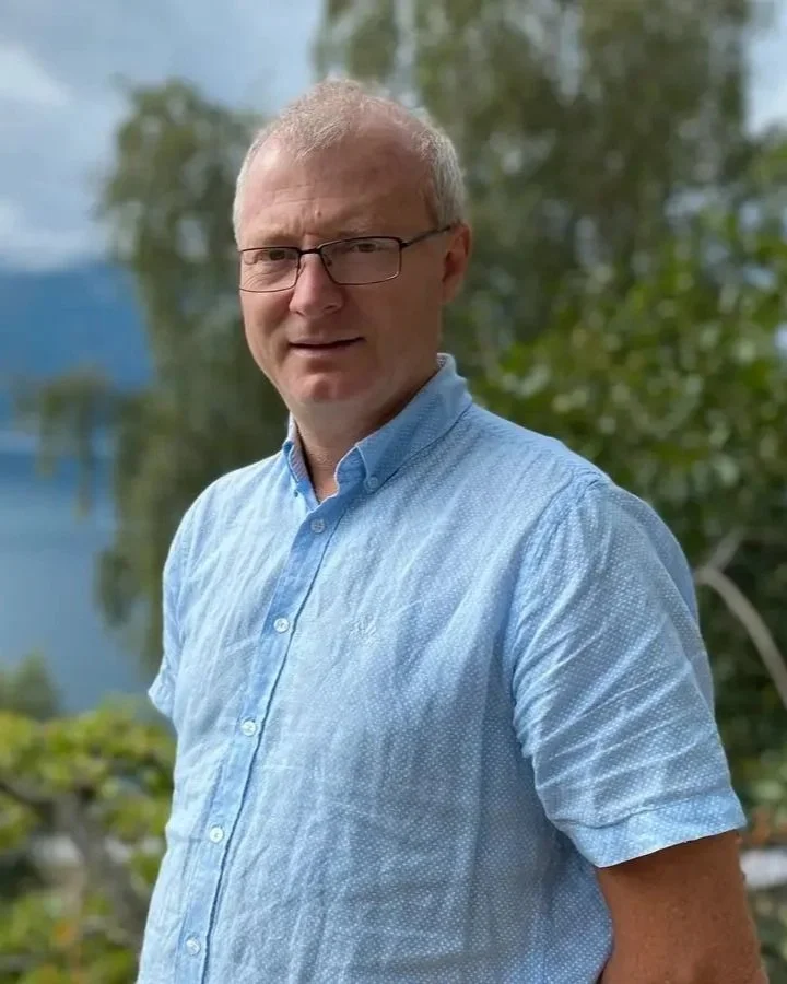
Carlo Aall
Responsible, Western Norway Research Institute
-
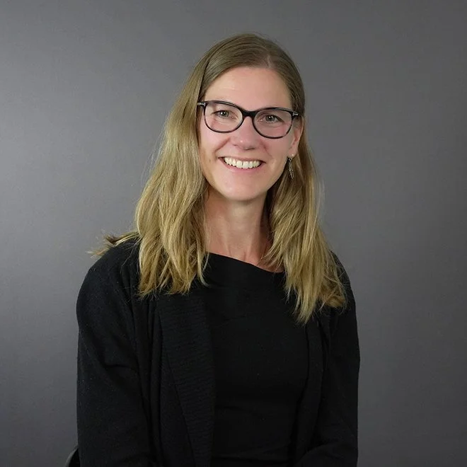
Ingrid Aarnes
Norwegian computing center
Research results
Reports, scientific articles etc. are expected in 2027.